
Giau Pass
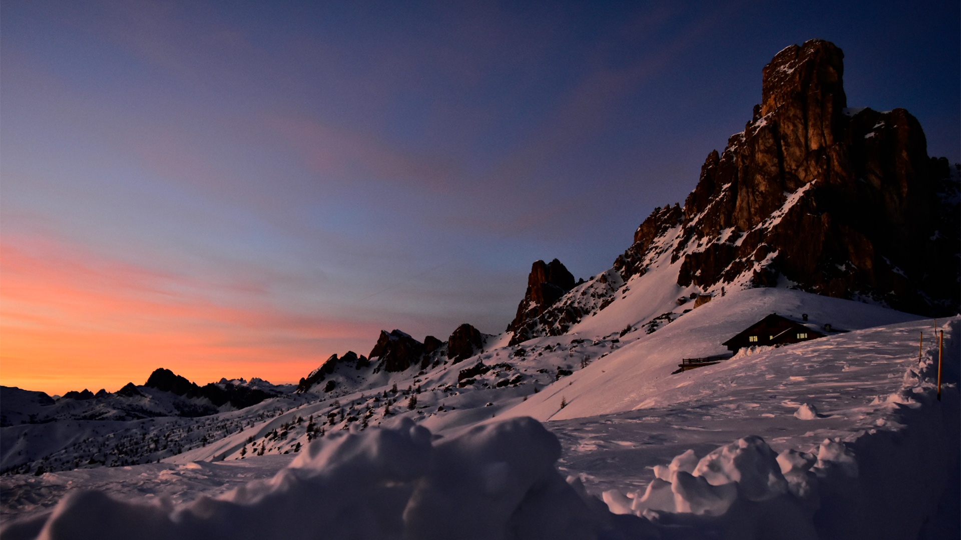
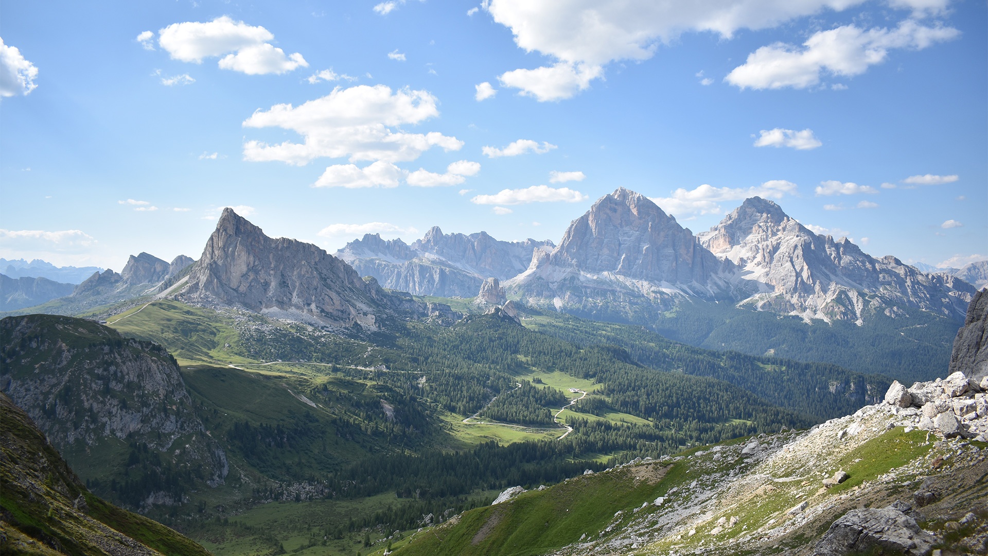
The Giau Pass can be reached from Selva di Cadore: the panorama you can admire from its 2348 m above sea level is breath-taking. Here it is possible to look over Mount Marmolada, Mount Civetta, the Ampezzo Dolomites, Lastoni di Formin and Croda da Lago right up to the Sella Mountain Group. Given its unique position it is a favourite destination with numerous photographers and amateur astronomers who climb up there to admire the night sky or photograph Enrosadira-Alpenglow, the natural phenomenon that turns the Dolomites pink. In the summer it is the perfect departure point for numerous excursions and hiking paths that lead to the 5 Torri, Mount Averau -Nuvolau, Mount Pore and if you follow the Alta Via No.1 it is possible to reach the Mondeval plateau passing along the shores of enchanting Lake delle Baste.
Its hairpin bends are famous for being chosen to host many editions of the Giro d’Italia and every year athletes pass through here in the famous Maratona delle Dolomiti. This has made it one of the most popular Dolomite Passes for cycling enthusiasts to tackle.
There are also many sports activities that can be done during the winter: ski mountaineering, snowshoeing, and access to the Ski Area 5 Torri - Lagazuoi is from the village of Fedare and from there it is possible to continue onto the Grande Guerra Ski Tour passing through Alta Badia, Arabba, Marmolada and returning to the Ski Civetta circuit.
Do not miss the opportunity to visit the Giau Pass that is a real symbol of the UNESCO Dolomites, one of the most popular destinations for people staying in Val Fiorentina.